Major Rivers of the World

Identify and locate each of the following rivers:
Nile-Africa
Amazon-South America
Danube-Europe
Chang Jiang (Yangtze)-Asia
Huang Ho (Yellow)-Asia
Ganges-Asia
Volga-Europe
Zaire (Congo)-Africa
Mississippi-North America
Missouri-North America
Colorado-North America
Nile-Africa
Amazon-South America
Danube-Europe
Chang Jiang (Yangtze)-Asia
Huang Ho (Yellow)-Asia
Ganges-Asia
Volga-Europe
Zaire (Congo)-Africa
Mississippi-North America
Missouri-North America
Colorado-North America
Mountains of the World

Identify and locate each of the following mountain ranges:
Andes-South America
Atlas Mountains-Africa
Himalayas-Asia
Urals-divide Europe from Asia, spans two continents
Alps-Europe
Rockies-North America
Appalachian-North America
Highest Peaks on each continent:
Aconcagua-highest peak in South America
Kilimanjaro-highest peak in Africa
Mount Everest-highest peak in Asia and the world
Mount blanc-highest peak in Europe
Mount McKinley-highest peak in North America
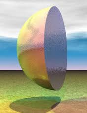
Hemisphere-
Half of a sphere or half of a ball.
Half of a sphere or half of a ball.

The four cardinal directions or cardinal points are the directions of north, east, south, and west, commonly denoted by their initials: N, E, S, W. East and west are at right angles to north and south, with east being in the clockwise direction of rotation from north and west being directly opposite east. Intermediate points between the four cardinal directions form the points of the compass. The intermediate (intercardinal, or ordinal) directions are northeast (NE), southeast (SE), southwest (SW), and northwest (NW).
Types of Maps:
Road- a map, designed for motorists, showing the roads of a city, state, or other area.
Relief- a map indicating hills and valleys by shading.
Population- Shows How many people live in a country or state by using darker shades for higher population and lighter for lower population. Then there is population density maps where you compare how many people per area.
Resource- A resource map shows what sort of natural or agricultural resources, such as crops or minerals, there are in a certain area. The amount of a resource is shown by a picture symbol. The bigger the symbol, the more of the resource there is!
Climate- (climate maps) Give general information about the climate and precipitation (rain and snow) of a region. Cartographers, or mapmakers, use colors to show different climate or precipitation zones
Political- A political map shows human-created features such as boundaries, cities, highways, roads, and railroads.
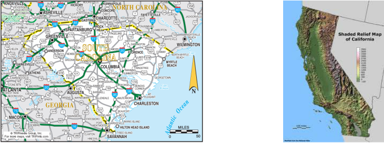
Road Map Relief Map
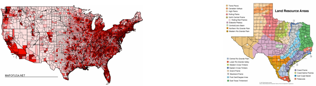
Population Map Resource Map
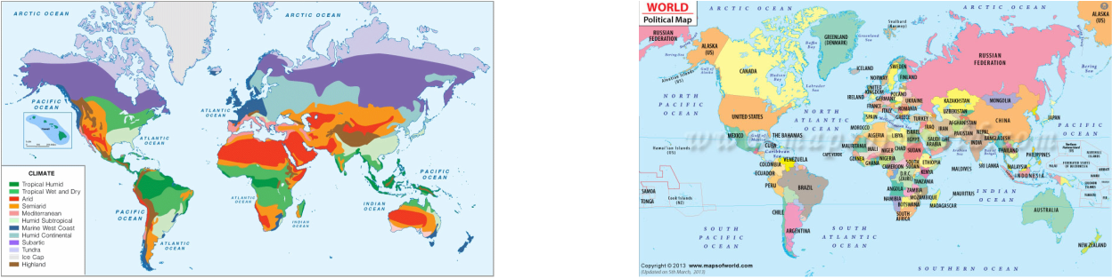
Climate Map Political Map
Boundaries:
Natural boundaries- created by nature, features such as mountain ranges, rivers, oceans. deserts
Man made boundaries- boundaries or borders created by man
Natural boundaries- created by nature, features such as mountain ranges, rivers, oceans. deserts
Man made boundaries- boundaries or borders created by man
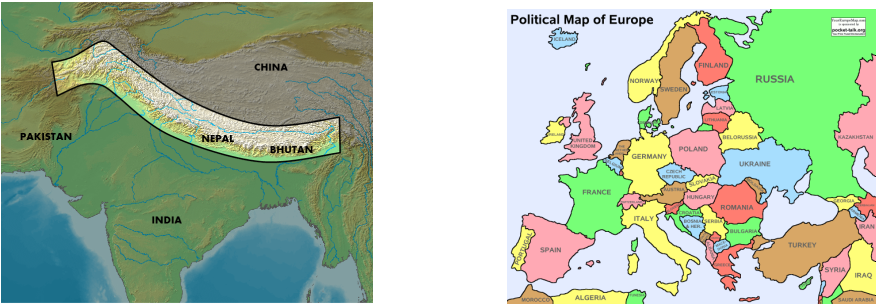
Natural Boundaries Man Made Boundaries
